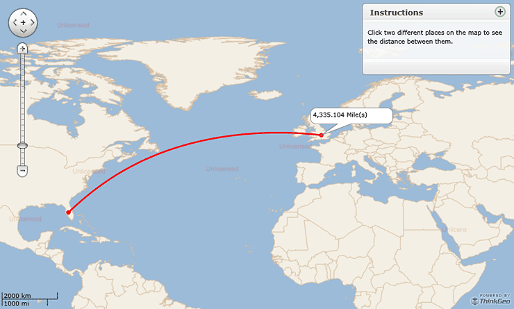
Gis Map
Advertisement
VIEWLOG v.3.0.0059
VIEWLOG provides a truly integrated borehole data management and interpretation system.
Advertisement
GeoAnalyst Hydron Module v.1.0
With Hydro GeoAnalyst, you can expect the highest level of performance and a completely scalable solution to meet your groundwater project demands!

Autodesk Infrastructure Design Suite v.2013
AutodeskT« Infrastructure Design Suite is a comprehensive software solution combining the tools to plan, design, build, and manage utility and civil infrastructure.
ORC CAD Standards v.4.0
Often states, provinces, cities, architectural and engineering firms receive an abundance of data, from various sources, in the form of drawings.

Icons-Land Vista Style GIS/GPS/MAP Icon Set v.2.0
Vista Style GIS/GPS/Map Icon Set is of perfect design quality. Being represented in 7 sizes, icons can be widely used in local service applications, GPS tracking and GIS applications, and any kind of mapping applications.

Map Export v.2.7.1.0
Map Export is a GIS developer oriented tool for downloading and exporting background image. Map Export can export both satellite imagery and street maps from Google Map. It can export in many kinds of bmp format as you like.

AnyChart Flash Map Converter v.1.0.4
Convert ESRI ShapeFiles (.SHP) geolocation data into AnyMap format to be used with AnyChart. AnyChart Flash Map Converter allows making use of a wide choice of maps with AnyChart, a GIS system that recognizes map data in AnyMap format only.

GIS ObjectLand v.2. 6. 2003
GIS ObjectLand is a universal Geographic Information System for Windows. Key features: - creation of vector-raster maps with arbitrary structure of layers and feature types; - creation of themes. Theme is a user presentation of a map; - control of

Map View SDK v.1.2
The Map View SDK is available as a stand alone Developer kit. The Map View SDK offers a Direct DLL method to draw multi-type maps by region within your application.
Cadcorp SIS Map Browser v.7 1
Cadcorp Map Browser is an application which allows the user to browse OGC® standard geographic data served on the web. Global demand for open systems interoperability is accelerating. Open Geospatial Consortium, Inc.

